
Metrolinx Reports Ontario Line North End Drone Imagery
Metrolinx released drone video in September 2026 showing bridge guideway and station work at Toronto’s Ontario Line north end without any revised cost or timeline.

⚡ In Brief: Metrolinx released drone imagery in September 2026 showing bridge, guideway, and station structures emerging at the Ontario Line’s north end in Toronto, with no revised completion date or updated cost figures disclosed alongside the aerial progress update.
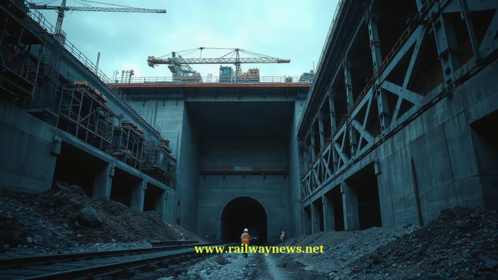
TORONTO, Canada – Metrolinx released a series of drone images in early September 2026 documenting above-ground construction progress at the Ontario Line’s north end, where foundations have transitioned to visible bridge, guideway, and station structures across the city’s northeast corridor. The provincial transit agency confirmed that residents will see “even more of the future subway line emerge above ground” in the coming months. No updated completion timeline, revised budget figure, or contractor milestone schedule accompanied the imagery release.
What Is the Full Scope of This Project?
The Ontario Line is a new subway route under construction in Toronto, designed to connect the Ontario Science Centre in the northeast to Exhibition/Ontario Place in the southwest, running through the downtown core. The north-end segment captured in the latest drone imagery includes bridges, elevated guideways, and station structures now taking shape above foundation level. The project forms part of a broader initiative to expand Toronto’s public transportation infrastructure, with Skills2Advance graduates entering the construction workforce after completing a targeted training program aligned with the build.
The full Ontario Line spans approximately 15.6 kilometres with 15 stations, though Metrolinx’s September 2026 update focused exclusively on the northern above-ground segment. Specific metrics—including the percentage of overall construction completed, current expenditure against budget, and the number of active work sites—were not included in the press release.
Key Project Data
| Parameter | Value |
|---|---|
| Project / Contract Name | Ontario Line (North End Segment) |
| Total Value | Not disclosed in this update |
| Parties Involved | Metrolinx (owner/operator); construction contractors not named in September 2026 update |
| Timeline / Completion | Not disclosed as of September 7, 2026 |
| Country / Corridor | Canada / Toronto, northeast corridor (Ontario Science Centre to downtown) |
How Does This Compare to Similar Projects?
In the North American urban transit construction landscape, the Fluor-Walsh joint venture reached substantial completion on the $2.1 billion Chicago Red Line transit project, a corridor modernisation that deployed advanced construction techniques across an existing heavy-rail line—differing from the Ontario Line’s greenfield route approach through northeast Toronto. (Source: Construction Dive, 2026) While the Chicago project modernised an operational corridor, the Ontario Line represents a fully new-build subway alignment, making direct cost-per-kilometre comparisons dependent on final Ontario Line figures that Metrolinx has not refreshed in this update.
Across the Atlantic, the UK metro rail investment trend for 2025–2026 shows accelerating urban transit commitments, with Eurostar projecting its UK economic contribution to rise from £2 billion and 23,000 jobs in 2025 to £2.8 billion and 40,000 jobs by 2035—conditional on capacity-expansion decisions that mirror the strategic calculus Toronto faces with the Ontario Line. (Source: Global Railway Review, 2026) Egis securing a position on Transport for London’s Professional Services Framework further signals consultancies positioning for sustained urban rail growth, a pattern visible in Toronto’s own procurement ecosystem. (Source: Rail Business UK, 2026)
Editor’s Analysis
Metrolinx’s use of drone imagery for public progress updates reflects a pattern adopted by transit agencies globally—from Crossrail in London to Grand Paris Express—where visual transparency serves as a stakeholder-relations tool even when detailed schedule and cost data remain tightly held. The concurrent Skills2Advance workforce pipeline indicates Ontario is attempting to front-load labour supply for what will be a multi-year construction ramp, a strategy that Chicago’s Red Line project also required amid North America’s persistent skilled-trades shortage. (Source: Ontario Construction News, 2026) The absence of refreshed completion data in the September 2026 update leaves analysts without a benchmark to measure whether the Ontario Line’s above-ground emergence is tracking on, ahead of, or behind the original schedule.
FAQ
Q: When will the Ontario Line be completed and open for passenger service?
A: Metrolinx has not disclosed a revised completion date as of September 7, 2026. The agency’s most recent update provided no new timeline data alongside the drone imagery.
Q: What specifically do the new drone images show at the Ontario Line’s north end?
A: The images show foundations that have given way to above-ground bridge structures, elevated guideways, and station structures across Toronto’s northeast corridor. Metrolinx stated that more of the line will become visible above ground in the coming months.
Q: How does the Ontario Line’s construction approach compare to other major North American transit projects?
A: Unlike the Chicago Red Line’s $2.1 billion modernisation of an existing corridor by Fluor-Walsh, the Ontario Line is a new-build subway alignment. Each project faces distinct engineering challenges—brownfield retrofit versus greenfield construction—making direct comparisons dependent on final cost and schedule data that Metrolinx has not refreshed in its latest update.

Railway infrastructure, rolling stock and transport technologies specialist focused on global rail industry developments, high-speed rail systems, signaling technologies and freight transportation. Covering railway investments, public transport modernization, rail operations and international mobility projects across Europe, Asia and North America.
RELATED POSTS

October 8, 2026 1:15 pm
Alstom secured a €1bn contract to build 13 automated trains,...

October 4, 2026 5:14 pm
Alstom secured a CA$4.7 billion order from VIA Rail Canada...
October 5, 2026 6:12 pm
AECOM and Jacobs secured a contract in September 2026 to...

October 1, 2026 12:13 am
Illinois approved $1.5 billion annually for the Northern Illinois Transit...

October 4, 2026 11:08 pm
Sound Transit confirmed the September 30 opening of Seattle Pinehurst...

October 5, 2026 1:13 pm
New York MTA confirmed a late 2026 DEIS release for...